📲 Real-Time Disaster Communication for Agencies and Residents
How a tech platform helps communities and first responders work together during natural disasters.
Featured Content
Watch our interview with tech startup Perimeter, whose real-time mapping platform helps first responders and the community respond to disasters.
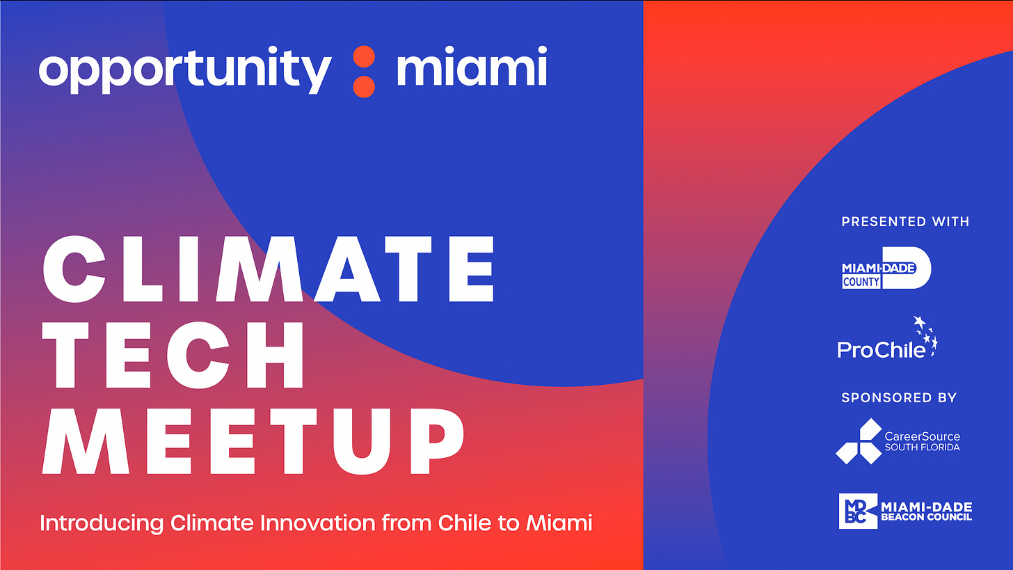
Only a few tickets left! Join us on June 10th for our next Climate Tech Meetup. Register here.
Bailey Farren is a five-time wildfire evacuee from California. Her parents are first responders who relied on radio communications and paper maps to coordinate during disasters.
Now she is on a mission to update disaster response communication between first responders on the ground and the general public.
“It’s something that I first came to because I’m from one of those communities that has been very impacted by natural disasters,” Farren told Opportunity Miami in our latest interview.
In 2018, she co-founded the mapping platform Perimeter, which allows first responders to share information in real time between each other and their communities during disasters and emergencies, or even during day-to-day operations and special events.
AN UPDATE TO DISASTER RESPONSE
During a disaster or crisis, multiple response agencies are coordinating to respond. What Farren learned about disaster response (her father is a firefighter and her mom was a paramedic) was that there are often more than two dozen groups – sometimes even hundreds – coming together to respond, and they all need to communicate and coordinate.
“Being able to provide a system that makes it incredibly easy for all of these different agencies to share information is really what we’re focused on.”
Perimeter not only gives first responders on the front lines a system to help them share information with the public but also information with each other to stay safe themselves, she added.
HOW THE TECHNOLOGY WORKS
First responders use the map-based application to access information in real time. They can see what information has been added – such as staging areas or flooding zones – while also coordinating with each other by adding specific information they are seeing on the ground (a flood, a fallen tree, a down power line, etc.). This all gets added to the map displayed to the entire team.
Admins can push information in real-time to residents using the system through the main website: perimetermap.com. The app accesses their location to show relevant information near them. Alerts include map-based information accompanied by text-based information, making it “easier to share and easier to digest for everyone who is reading it,” Farren said.
Perimeter was one of Verizon's 2023 Climate Resilience Prize winners. That same year, she and co-founder Noah Wu were featured in the Forbes issue of 30 Under 30 for Enterprise Technology and they raised $4 million following an endorsement from Jeffrey Brown of Brownstone Research.
The company deployed the platform on January 1, 2023. The next day the platform was used during a catastrophic flooding and has since been used during wildfire evacuations, bomb threats, road closures, hazardous material spills, resource distribution sites, and more.
MIAMI-DADE DISASTER COMMUNICATION
As we approach what is expected to be a busy hurricane season (which officially starts on June 1st), I am reminded of the many times we lifelong Miamians have had to face our natural disasters: flooding and evacuations such as when Hurricane Irma stormed through our region in 2017 or when I relied on a battery-operated radio for weeks to catch up on the latest news after Hurricane Andrew ravaged South Florida in ‘92.
We made do with what we had, but being in the dark often felt like a logistical nightmare.
Perimeter has agreements in place in two counties in Florida: Levy County on the Gulf side and Walton County in northwest Florida. The company is operational across ten counties in California and Nevada.
Through the county’s Department of Emergency Management, residents or visitors can sign up to receive free text or email alerts on public safety and emergency communication. ReadyMDC is a free mobile app to receive information before, during, and after a hurricane. The County has also partnered with the global platform ISeeChange where residents can directly report issues related to climate challenges in their neighborhoods, such as flooding and more.
What makes Perimeter unique, Farren said, is that the platform allows immediate updates to be sent to first responders, safety agencies, and the public.
“What we found is that during an actual disaster, things might happen a little bit differently than anticipated,” she said. “You can use our system to push information that might help people respond to the way things actually are.”
You can also listen to the full interview on Apple Podcast or Spotify.
FLORIDA PITCH DAY
Tech startups will have the opportunity to get in front of government officials and VC firms on June 11th for Florida Pitch Day at Florida International University. You can register here as a startup or founder for the event hosted by the Florida Department of Commerce.
JOIN US ON JUNE 10TH
Our next climate tech meetup in partnership with Miami-Dade County will introduce us to four companies in climate innovation from Chile. Register here.
PITCH US
If you have a company or entrepreneur to suggest or an idea to share that relates to building Miami’s future, email us at next@opportunity.miami. We invite you to subscribe to our YouTube channel and follow us on our social media channels. If you were forwarded this newsletter, you can subscribe by clicking here. And if you are new to Opportunity Miami, you can learn about our mission and work here.
Hope to hear from you.
– Suzette


